(your browser must support PNG images, and you should be patient since files are large)
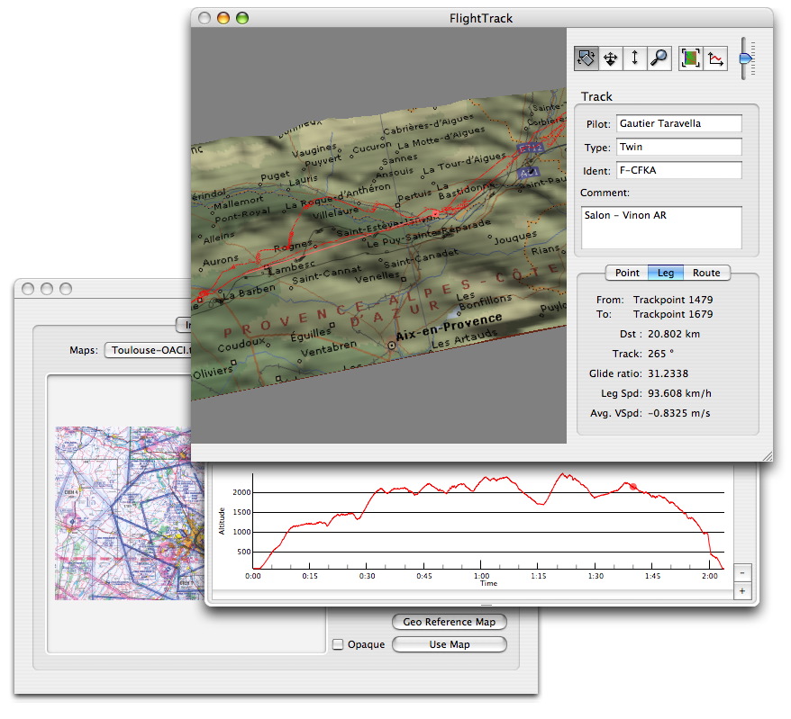
Flight with terrain data and map background (0.0.14)
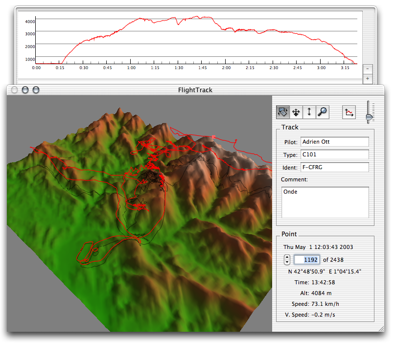
A Flight with the altitude graph (0.0.7)
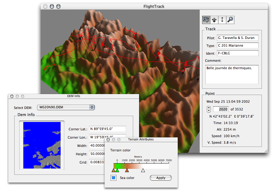
Over the Pyrenees. You can see the panel showing information about the DEMs and the panel used to edit terrain color. (0.0.6)
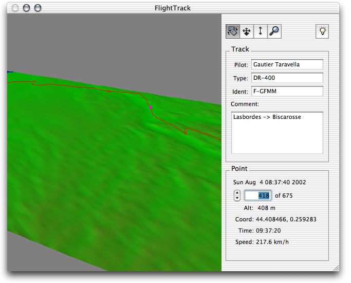
Flat land... (0.0.3)
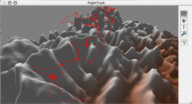
A nice day of thermals over the Pyrenees. (0.0.1)
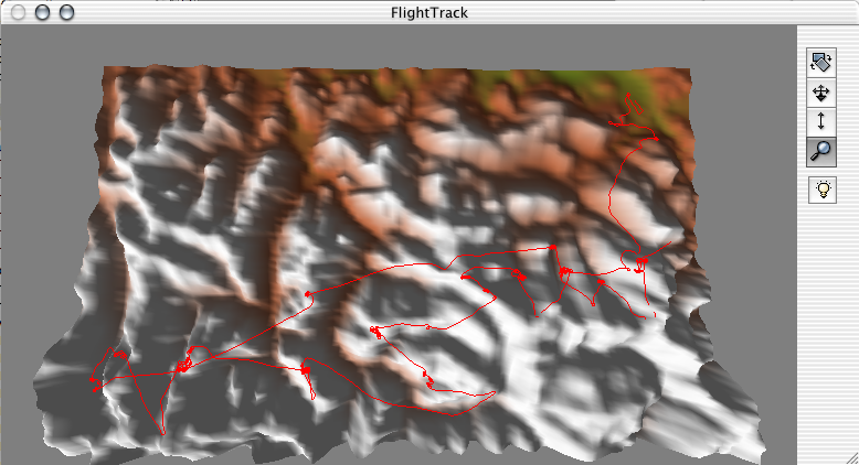
The same flight viewed from above. (0.0.1)

The same flight viewed with no elevation data available. (0.0.1)
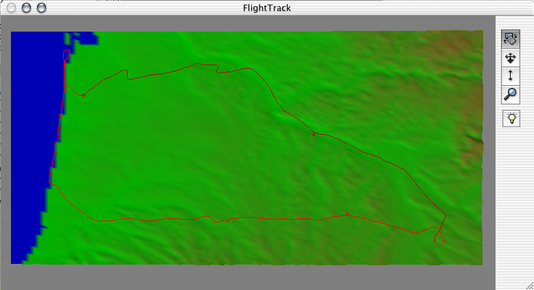
OK, this was not a glider flight, but a nice trip to Biscarosse (LFBS). (0.0.1)

The download panel. (0.0.1)